
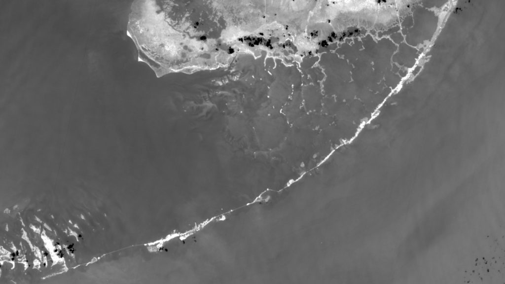
On 30 September 2019, The US Geological Survey released new samples of Landsat data, leading up to Landsat Collection 2, a global multi-instrument survey of Planet Earth. Data processing will continue all through next year and is expected to be fully available in 2021.
If you’d like to try your own hand at processing Earth Observation Satellite data, you can take a look at the sample datasets at the USGS Landsat website.