
Orbital News
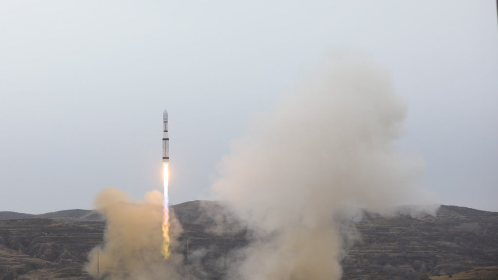
27 Dec 2019 1245 UT – Wenchang CZ-5 SJ-20 commsat
29 Dec 2019 – Christina Koch sets an orbital endurance record
Regional News
27 Dec 2019 – 12 injured in LN2 breach at Beechcraft plant in Wichita
28 Dec 2019 –
Dr. Cheryl Rockman-Greenberg of Winnipeg named to the Order of Canada, for work on genetic disorders.
Also named, three from Ontario and B.C. for aviation matters, and
James Cameron of Saskatoon, for achievements in film.
29 Dec 2019 – Kauaʻi tourist flight crash killed two from Wisconsin
29 Dec 2019 – Starlink satellites spotted over Manitoba
30 Dec 2019 – Bismarck offers $4000 scholarships for new pilots
30 Dec 2019 – MDA splits off from Maxar in 1 G$ CAD deal
30 Dec 2019 – Sun Country Airlines may add Sioux Falls to express bus network
30 Dec 2019 – Honeywell cuts 90 aerospace jobs in Minnesota
31 Dec 2019 –
31 Dec 2019 – Billings adds flights to Dallas, Portland on American, Alaska
31 Dec 2019 – Colorado-based planes to track GHG emissions
02 Jan 2020 – United flight slides off runway at Bismarck Airport
02 Jan 2020 – Unidentified drones fly after sunset in Colorado and Nebraska
Further News
29 Dec 2019 – Boeing updates public on Starliner recovery and checkout
30 Dec 2019 – Iridium wonders aloud about how to deorbit 30 dead commsats
30 Dec 2019 – SLS test slips to perhaps April or later
02 Jan 2020 – Japanese Momo rocket test postponed
Late News
19 Dec 2019 – New (?) spaceport licence sought for the local airport near Cape Canaveral
22 Dec 2019 – Myrtle Cagle, pilot of Mercury 13 fame, dead at 94
23 Dec 2019 – Alaska Airlines upgrades Bozeman to mainline 21 May 2020
23 Dec 2019 – FAA ends untrained ATC quota, U of North Dakota pleased
25 Dec 2019 – Sioux Falls crash revisited one year later